
 Cyberspace Work
 Cyberspace Pipeline
 Hesai Kosmo One
 NavVis MLX
 Handheld AR
 AR Pad
 All-in-One Appliance
 Buildings
 Rail & Transit
 Underground Pipelines
 Indoor Pipelines
 Industrial Plants
 Commercial Complexes
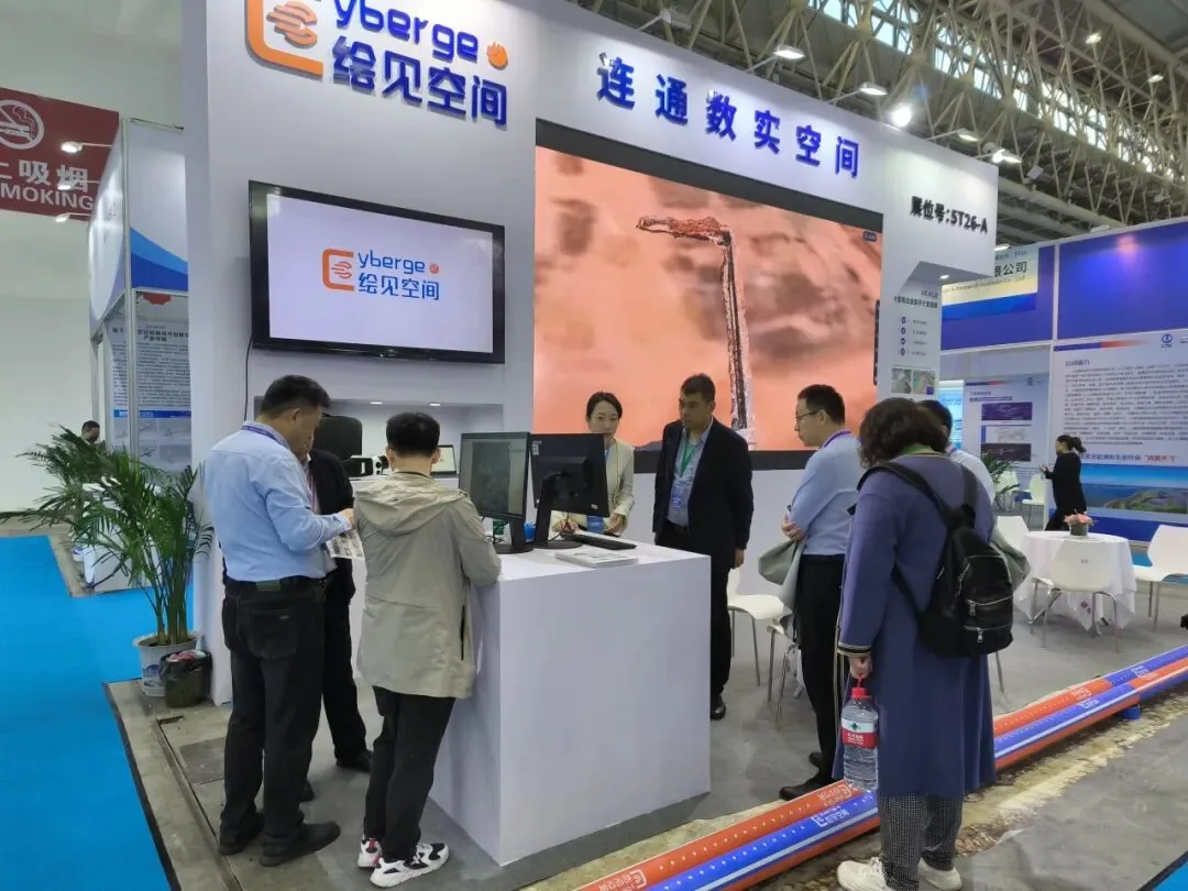
CyberGEO presented its spatial AR technology at the 11th Wuhan International Pipeline Expo on November 13, 2024. Held at the Wuhan International Expo Center, the event focused on urban lifeline safety. CyberGEO introduced its Vision AR Handheld at booth 5T26-A to advance underground pipeline construction and maintenance.
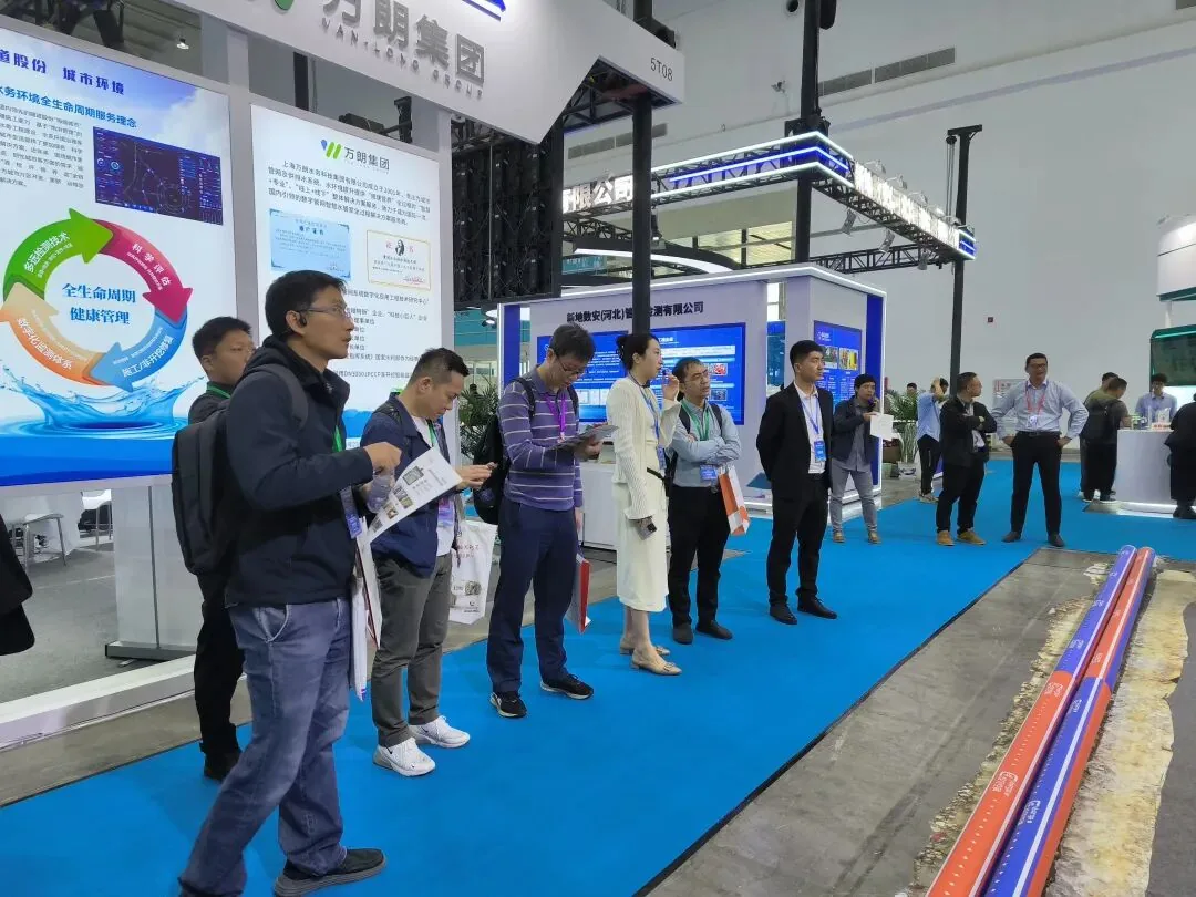
What Happened: Vision AR Handheld in Action
The Vision AR Handheld is a field device integrating high-precision positioning, video-based 3D reconstruction, and spatial AR. Working alongside the CyberGEO pipeline app, it captures precise node data to ensure smooth operations.
The system converts 2D pipeline drawings into interactive 3D models, allowing field workers to plan routes and receive real-time construction guidance. It also provides automated data processing and spatial AR editing for fault warnings.
Why Spatial AR Matters for Pipeline Networks
Throughout the expo, CyberGEO engaged with municipal engineering experts and industry partners. Attendees discussed how spatial AR can address data inaccuracies in aging pipeline networks. The combination of AR hardware and IoT devices also emerged as a key focus for real-time monitoring.
- Improved data accuracy for aging pipeline networks
- Real-time construction guidance and fault warnings
- Enhanced safety for GNSS-restricted underground environments
Built for municipal work
As a spatial XR technology provider, CyberGEO develops tools for construction and municipal management. Its software platform, CyberSpace, visualizes multi-source data like BIM, GIS, and CAD.
Meanwhile, the Vision AR Handheld aligns these digital models with the physical world at a 1:1 scale. This combination supports reality capture for hidden assets like underground pipelines, helping to improve operational efficiency.
To explore how CyberGEO's spatial AR and reality capture solutions can support your infrastructure projects, learn more about the CyberSpace platform or contact our team for collaboration.