
 Cyberspace Work
 Cyberspace Pipeline
 Hesai Kosmo One
 NavVis MLX
 Handheld AR
 AR Pad
 All-in-One Appliance
 Buildings
 Rail & Transit
 Underground Pipelines
 Indoor Pipelines
 Industrial Plants
 Commercial Complexes

← All products
Handheld Scanners
NavVis MLX
Mobile mapping accuracy, captured at walking pace.
A wearable mobile mapping system for large indoor and plant environments. The MLX scans as you walk, producing survey-grade point clouds with panoramic imagery across floors, corridors and service areas.
5 mmPoint cloud accuracy
32-layerLiDAR, 640k points per second
45 minRuntime per charge
360° / 270°Panoramic camera coverage
One walk covers the whole floor.
Mobile mapping for buildings and plants where a static scanner would need dozens of setups and days of fieldwork.
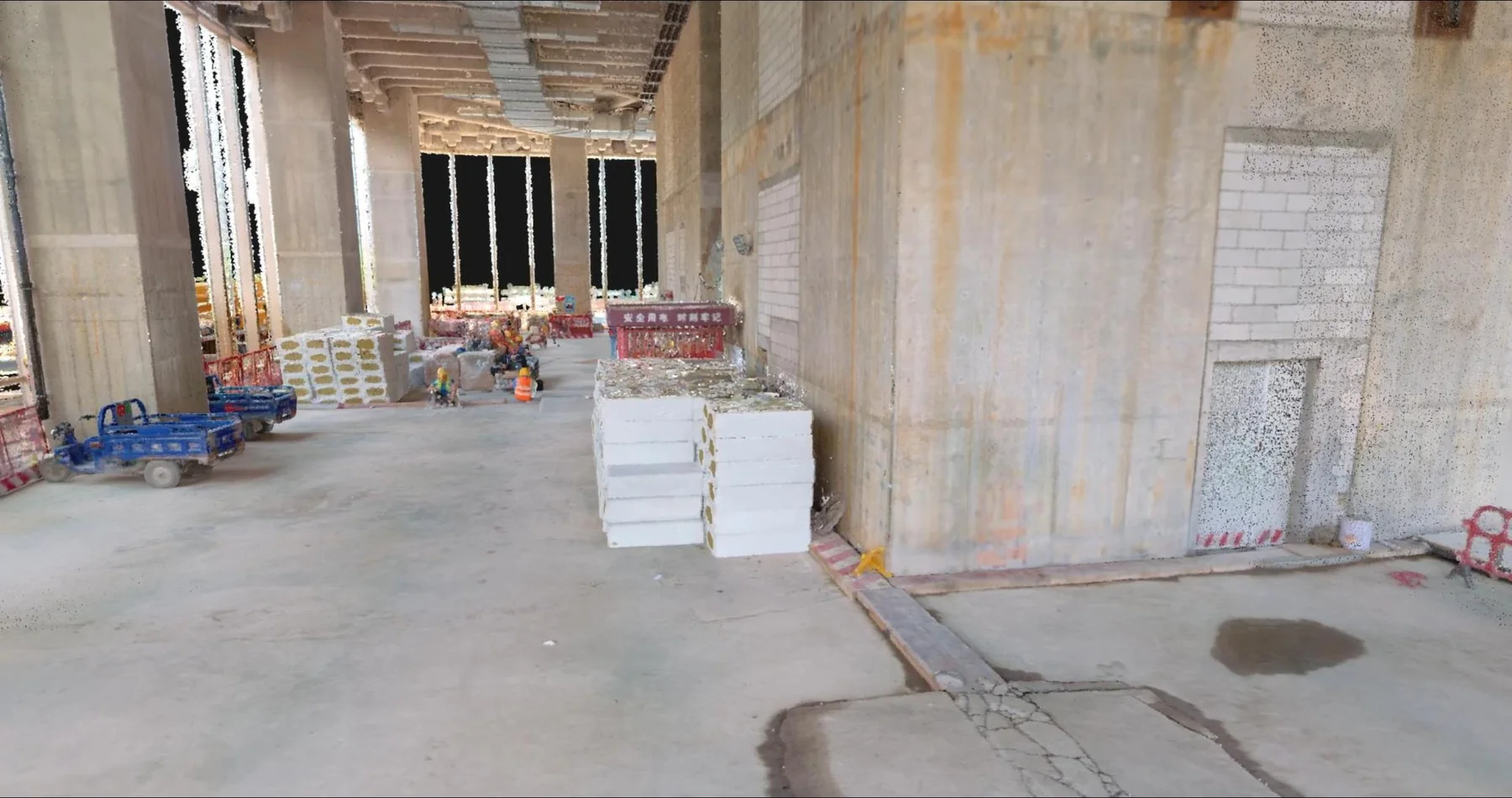 Live 3D scan
Walk the capture in your browser.
Open a sample capture and move through the scene: zoom into a detail, check the geometry, and see what the scanner actually returns.
Open the 3D scan
Specifications
Runs as part of the open CyberSpace hardware ecosystem alongside the Hesai Kosmo One scanner.
| LIDAR | 32-layer, 640k pts/s, range up to 50 m |
|---|---|
| Point Cloud Accuracy | 5 mm |
| Panoramic Camera | 4 × 12 MP (360°/270°) |
| Runtime | 45 min |
| Weight | 3.6 kg |
| Dimensions | 960 × 19 × 15 cm |
Works with the rest of the kit.
Every instrument feeds the same spatial record, so a site captured with one device is immediately useful in the others.
See it on your own site.
We will walk your project through capture, model comparison and field verification with the hardware you already plan to use.