 Cyberspace Work
 Cyberspace Pipeline
 Hesai Kosmo One
 NavVis MLX
 Handheld AR
 AR Pad
 All-in-One Appliance
 Buildings
 Rail & Transit
 Underground Pipelines
 Indoor Pipelines
 Industrial Plants
 Commercial Complexes
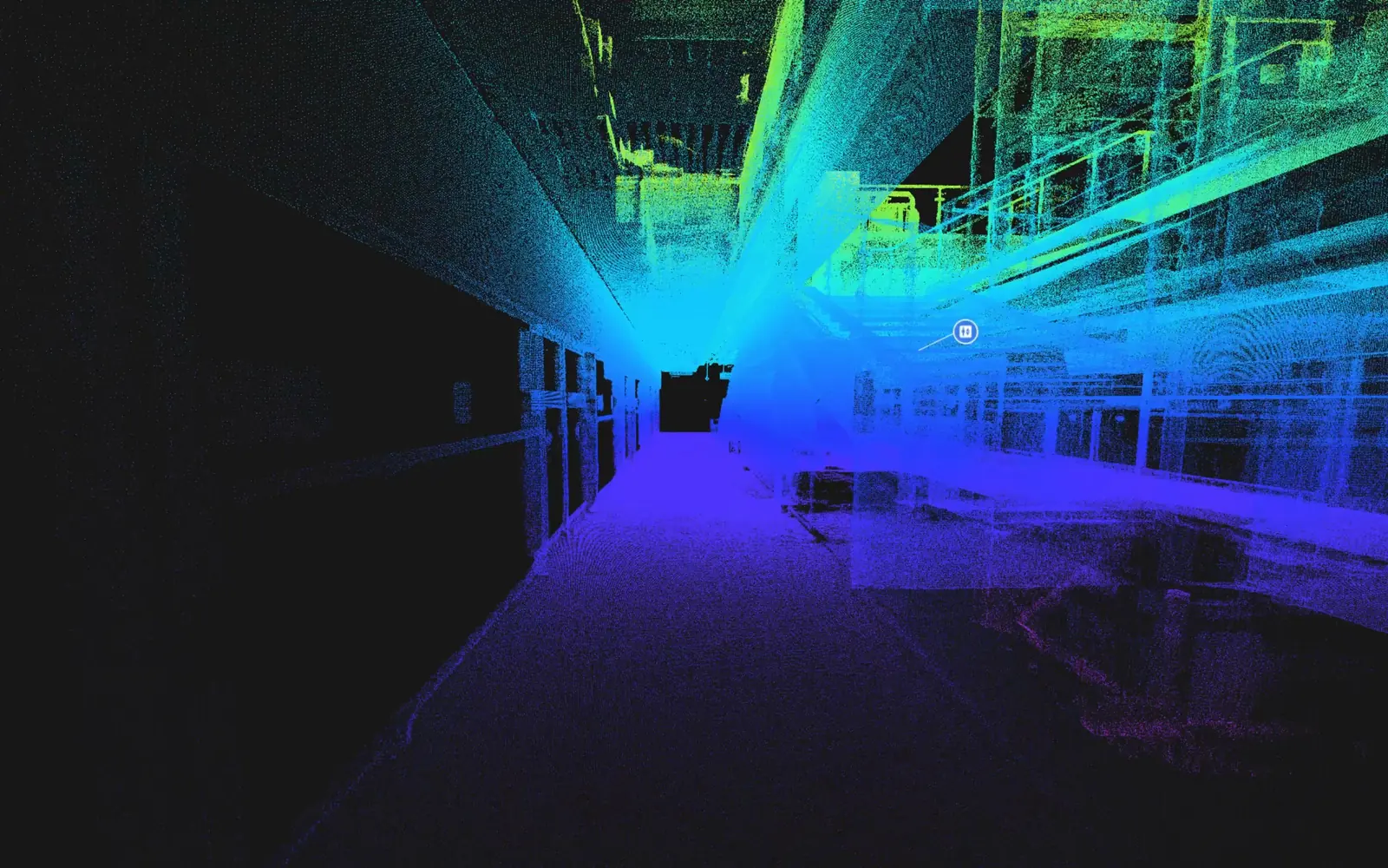
Underground, where GPS stops
Stations, tunnels and deep plant rooms sit outside satellite coverage, so location has to come from the space itself.

Keep stations, tunnels and depots on one digital record
Part of the CyberSpace platform
Stations, tunnels and deep plant rooms sit outside satellite coverage, so location has to come from the space itself.
Layered MEP and cables make finding one service slow, and possessions give crews only hours.
Extension and renewal work meets live assets whose as-built records no longer match the corridor.
Scan stations, tunnels and depots; fuse point cloud, panorama and BIM into one model, localized by visual maps and spatial anchors where GNSS fails.
Equipment, cables and services are tagged to their real location; the ledger, history and past faults open where the asset is.
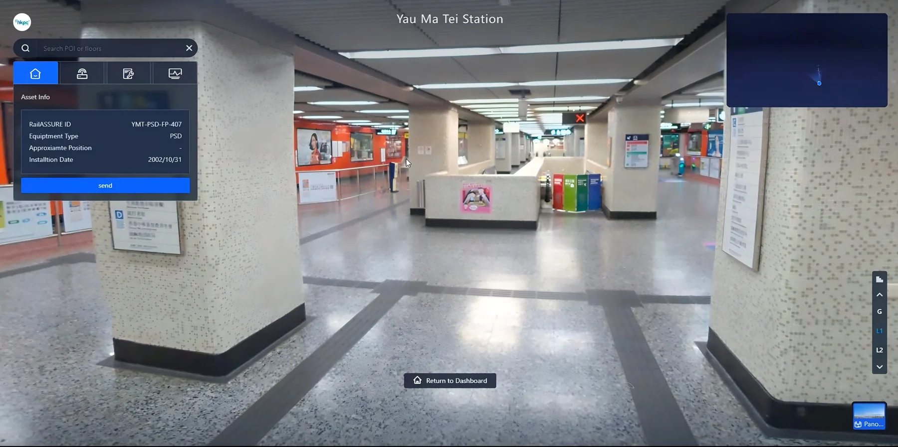
Inspection plans are created by area or asset group and land in 3D execution space on the AR terminal.
The robot dog autonomously navigates stations, equipped with external scanners to capture real-time environmental and equipment status data.
Positioning carries from the concourse into the tunnel without dropping out.
Crews arrive knowing exactly what to do and where, so possession time goes on the work.
Ledger, history and past faults are read at the asset. No trip back to the office.
Each extension or renewal updates the same corridor model instead of starting a new set of drawings.
Tell us about your project and we will arrange a tailored demo, usually within one business day.