 Cyberspace Work
 Cyberspace Pipeline
 Hesai Kosmo One
 NavVis MLX
 Handheld AR
 AR Pad
 All-in-One Appliance
 Buildings
 Rail & Transit
 Underground Pipelines
 Indoor Pipelines
 Industrial Plants
 Commercial Complexes
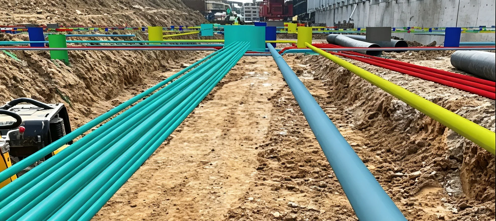
Isolated nodes
A pipe point that connects to nothing in the network.

Bring the record back to the ground.
Part of the CyberSpace Pipeline Digitalization Solution
Attribute information is inherited automatically and the network is reconstructed spatially from 2D to 3D, generating 3D pipe points, pipe segments and model representations.
Suspected data problems such as connection anomalies and overlapping points are identified in the office first, then verified on the map and in the result list.
A pipe point that connects to nothing in the network.
A pipe segment left outside the connected network.
Repeated points that would double-count a single object.
Segments that overlap where they should not.
Height differences that a 2D record cannot express.
Pipe points that are not correctly bound to their segments.
An inspection task is created on the web terminal and associated with the pipeline network model, then distributed to the field app. On receiving the task, field personnel load the corresponding model, superimpose the network data on the real scene, and carry out patrol and verification on site.
Where the pipe point found on site does not match the record, the position is corrected in the field app and written back to the network model. Geometry and attributes are updated together, so later tasks work from the corrected position rather than the legacy one.
Bring a stretch of your own pipeline data and we will run the loop on it: import, 3D rebuild, topology check and a live AR walk-through on site.