
 Cyberspace Work
 Cyberspace Pipeline
 Hesai Kosmo One
 NavVis MLX
 Handheld AR
 AR Pad
 All-in-One Appliance
 Buildings
 Rail & Transit
 Underground Pipelines
 Indoor Pipelines
 Industrial Plants
 Commercial Complexes
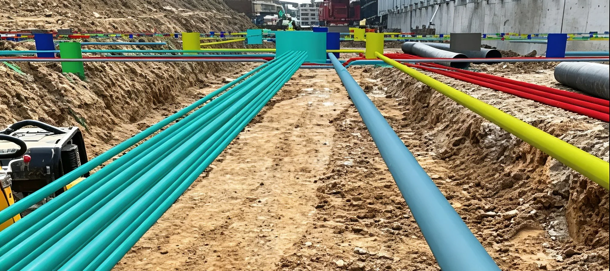
New Pipeline Documentation
Capture the trench before it closes.
Part of the CyberSpace Pipeline Digitalization Solution
Scan from the start
Walk the open trench once with the AR terminal. Capture starts at the first metre and continues along the route.
Accurate 3D model
Length, clearance and burial depth can be measured on the model rather than recorded by hand in the trench.
Mark POI
Drop a spatial anchor on any point of interest along the route: welds, valves, tees, crossings. Each one carries its own type, name, description and photo.
Coordinate pick
Read the coordinates of any point on the model for records, briefings and handover: longitude, latitude and height in the coordinate system your project uses.
GIS draw and export
Models are generated in 3DTiles, OSGB and FBX and connect directly to existing engineering and GIS systems, positioned to centimetre level.
See it on your network.
Bring a stretch of your own pipeline data and we will run the loop on it: import, 3D rebuild, topology check and a live AR walk-through on site.