Contact Us

From Physical Reality to Digital Asset Intelligence.

CyberSpace, the spatial intelligence platform that digitizes, connects and operates the built environment.

Request a Demo

From data capture
to field operations.

Fused data, open hardware, automated model comparison, AR field work and live IoT operations.

  1. Multi-Source Data Fusion

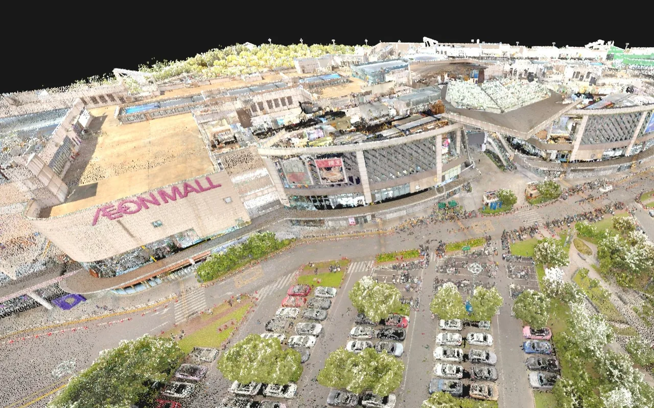
    BIM, point cloud, 3DGS and GIS aligned in one coordinate frame, ready to compare.

  2. Data Processing

    View and compress large scans, run calculations, and compare the point cloud against the BIM model.

  3. IoT Integration

    Sensor Data · Real-Time Monitoring · Alerts

0:00 / 1:51
Platform film · 1:51

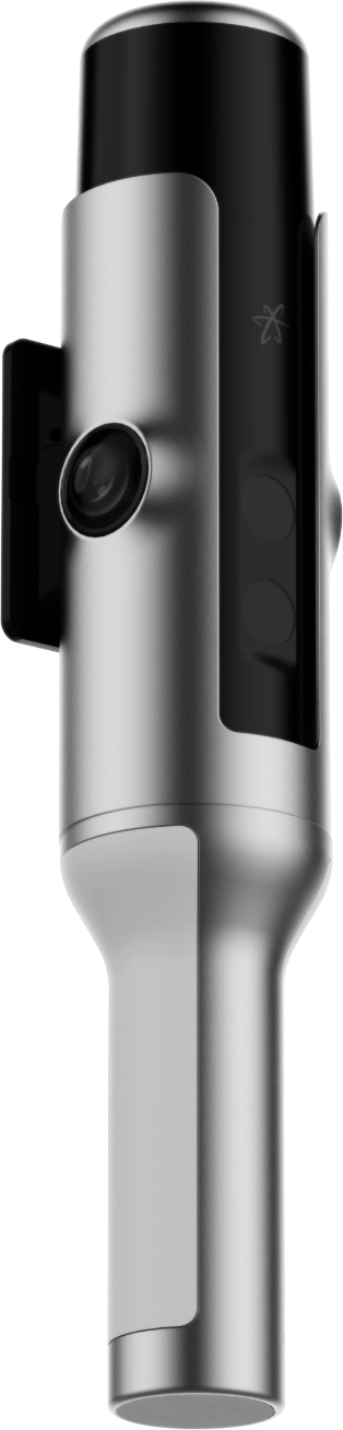
Hesai Kosmo One

Millimeter precision and photoreal 3DGS in one handheld pass.

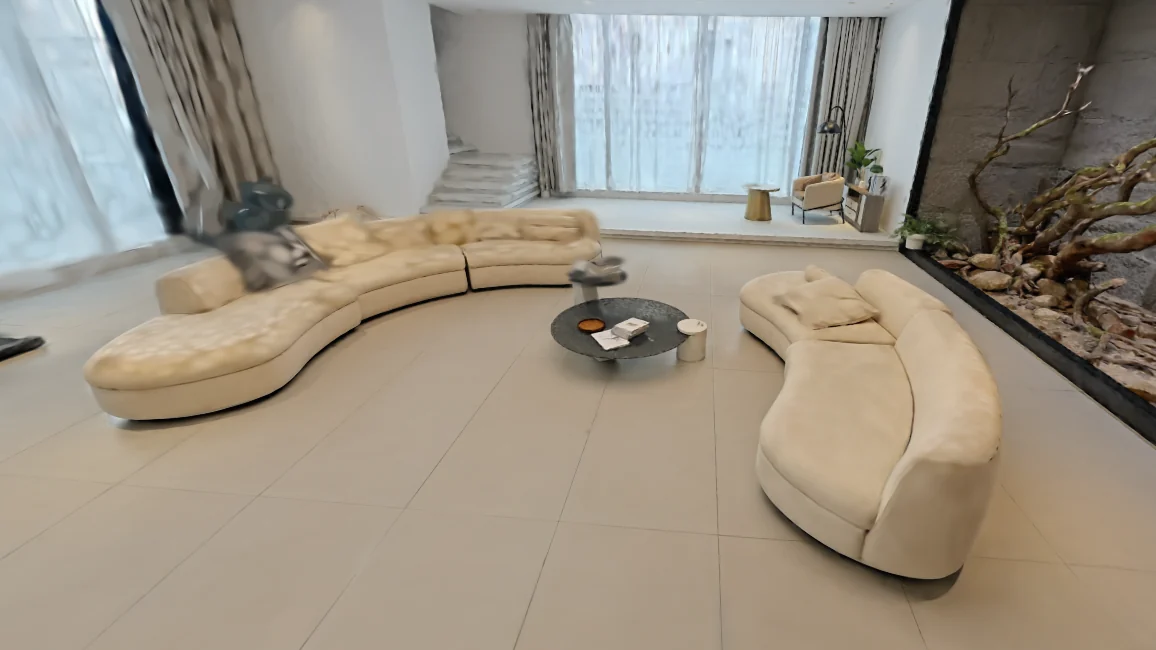
A self-contained scanner that records geometry, texture and light in a single walk. CyberSpace then turns the capture into a 3DGS scene you can publish.

3.5mmLiDAR precisionvs. 5 mm typical
569KPoints / secdense single pass
6K×2Fisheye colour1-inch sensors
40mRangeat 10% reflectance
Explore Hesai Kosmo One
Hesai Kosmo One handheld LiDAR scanner, side view showing the LiDAR head, camera and grip
  1. 01 Capture reality Geometry, texture and light in a single pass.
  2. 02 Compute 3DGS Auto-converted to photoreal 3DGS.
  3. 03 Edit & publish Edit, manage and publish from the same platform.

AI-Native Functions in Cyberspace

Scan to BIM, Scan to CAD, Data Compare, AI Analysis… Several Functions For You

Transform point clouds into BIM or CAD models, compare datasets, and use AI-powered analysis to streamline modeling, improve comparison workflows, and gain actionable insights.

Explore Cyberspace Work

AR-Assisted Field Operations

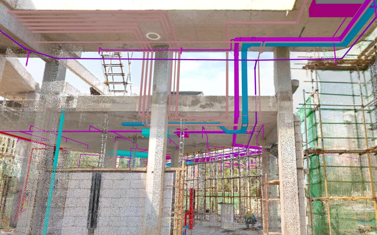
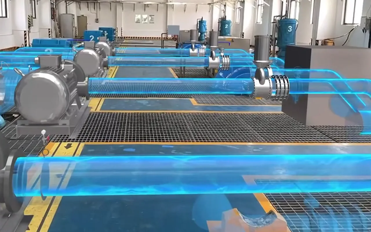
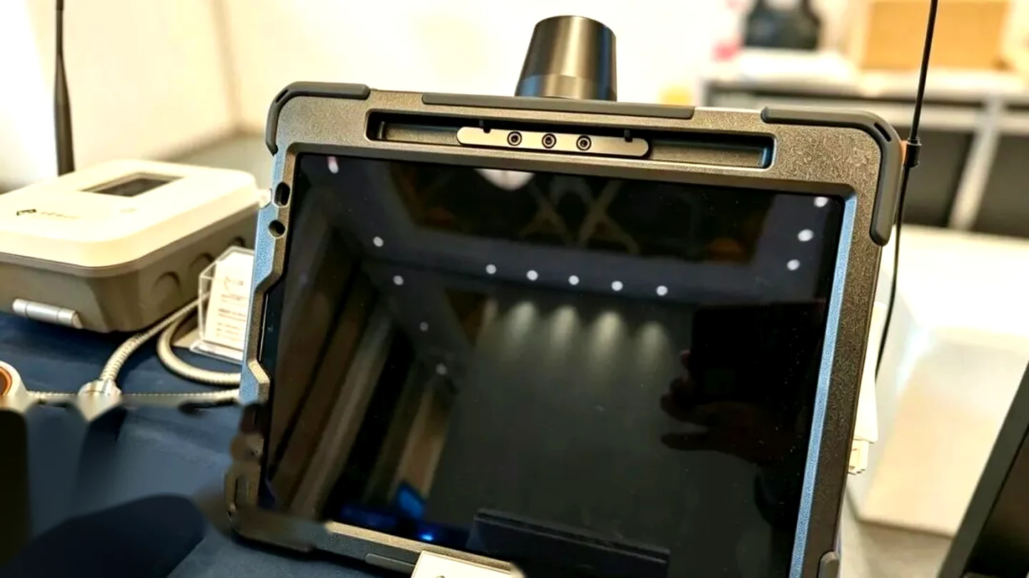
AR asset operations, hidden pipes, asset tags and BIM geometry overlaid on site in real time.

AR brings the building's invisible layer out onto the floor. Hidden pipes and conduit runs show through walls, asset tags sit on the equipment they belong to, and BIM geometry lands exactly where it was designed.

Explore Cyberspace Pipeline

Built on the scan,
run from the platform.

The handheld scanner and AR terminal in the field, Cyberspace Work and Pipeline in the office. What crews capture becomes a record they can verify, update and hand over.

Built for your IT environment.

On-Premises Deployment

Run CyberSpace inside your own data center or VPC, with full control over sensitive asset data, compliance and network security. Configuration is tailored to your environment, and All-in-One Appliance deployment is available.

Custom Feature Development

Our engineering team tailors CyberSpace modules to your workflows, from industry-specific features to bespoke integrations.

Spatial Intelligence is now at work
where the work happens.

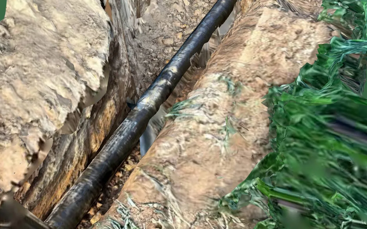
From a station platform to a buried water main, teams capture, verify and operate the built environment on one shared record.

Spatial projects, captured as built.

Each site digitized from the first scan to a 3D record you can measure, query and update.

An ecosystem built to grow with you.

Hardware vendors and distributors around the world put spatial intelligence to work in real projects.

Trusted across the built environment

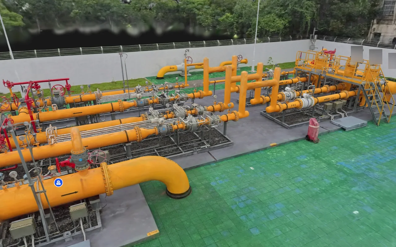
Water treatment plants, gas networks, metro depots and commercial complexes. CyberGEO delivers measured 3D records and AR field tools, built on partner hardware and deployed inside the customer's own IT environment.

60+
Customers
100+
Projects delivered
6
Industry applications
2
Solution lines

Stay ahead.

Product launches, field case studies and the workflows behind them, plus a direct line to our team.
See our Privacy Policy to learn how we use your information.